Descripción general
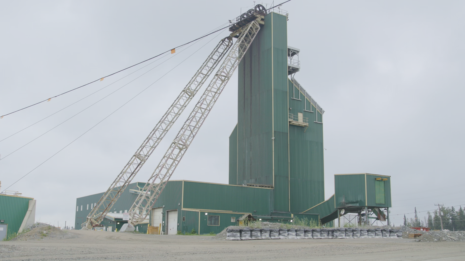
Hoyle Pond es una mina de oro subterránea situada en el cinturón de rocas verdes Arqueano Abitibi, aproximadamente a 20 km al noreste del centro de Timmins, Ontario. La infraestructura subterránea incluye dos rampas de descenso y un pozo de cuatro compartimentos; la producción subterránea se transporta en camiones o se eleva mediante un pozo inclinado hasta un nivel de transporte que conecta con el pozo. La mina comenzó a operar en 1985 y, desde entonces, ha producido más de 4 millones de onzas de oro. A lo largo de su historia, Hoyle Pond ha sido reconocida como una de las minas de oro de mayor ley de América del Norte, con un sólido historial de reposición de reservas.
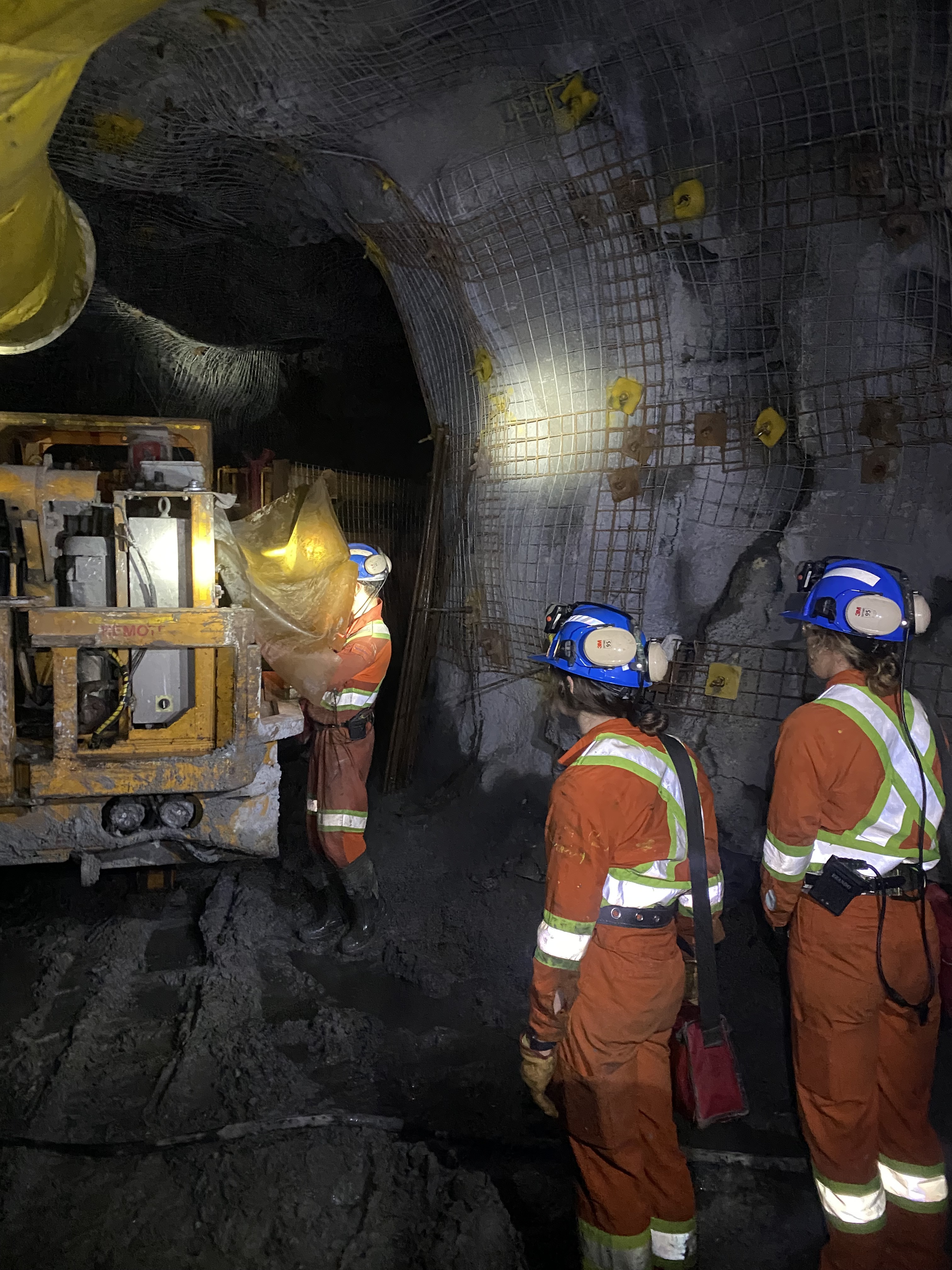
La mineralización de oro en Hoyle Pond se presenta generalmente en forma de oro libre grueso en vetas de cuarzo de color blanco a grisáceo con ankerita, turmalina y pirita variables. Las zonas mineras suelen consistir en vetas de cuarzo subverticales con rumbo noreste, plegadas a pequeña escala.
Los métodos de extracción actuales en Hoyle Pond son principalmente la minería de tajo largo, aunque también se utiliza en cierta medida la minería mecanizada de corte y relleno. La mina está pasando actualmente a utilizar la minería de corte y relleno subterráneo en la zona inferior S, por debajo de los 1,900 metros de profundidad.
La producción en 2024 en Hoyle Pond ascendió a 73,000 onzas, con un total de 222,000 toneladas molidas y una ley media de procesamiento de 10.8 g/t. La tasa media de extracción fue de 610 tpd, lo que se compara con una capacidad total de elevación en la mina de aproximadamente 2,200 tpd (mineral y residuos).
Basándose en los recursos minerales existentes y en la tasa de producción actual, la vida útil estimada de la mina de Hoyle Pond es de 10 años, con un potencial significativo para aumentar la producción y prolongar su vida útil.
Exploración
Aprovechando el sólido historial de éxitos en la exploración y en la sustitución de recursos y reservas de Hoyle Pond, siguen existiendo múltiples objetivos de exploración de alto potencial, tanto cerca de la mina como en la región. Los objetivos clave para futuras perforaciones incluyen la zona S, actualmente en producción, tanto en profundidad como en inclinación ascendente, la zona XMS y la zona NMV2, cerca del nivel 1,350 de la mina. Además, la zona entre Hoyle Pond y Owl Creek, aproximadamente a 2.3 km al oeste, tiene un importante potencial de exploración.
Otra oportunidad significativa es la zona TVZ, situada en los sedimentos de Porcupine, adyacente a Hoyle Pond. La zona TVZ es una zona de mineralización a granel que ha sido atravesada desde el subsuelo en dos niveles. Se cree que la zona es parcialmente refractaria y se requieren pruebas metalúrgicas adicionales para una interpretación completa de la mineralización.
Recursos
Los recursos minerales actuales incluyen recursos minerales indicados de 1,167,000 toneladas con una ley media de 12.90 g/t para 484,000 onzas y recursos minerales inferidos de 578,000 toneladas con una ley de 15.24 g/t para 283,000 onzas.
| Recursos | Tonnes | Grade | Ounces |
|---|---|---|---|
| (kt) | (Au g/t) | (koz Au) | |
| Measured | - | - | - |
| Indicated | 1,167 | 12.90 | 484 |
| Total M&I | 1,167 | 12.90 | 484 |
| Inferred | 578 | 15.24 | 283 |
Para obtener una revisión detallada de los recursos minerales en Hoyle Pond, consulte el informe técnico titulado “Porcupine Complex, Ontario, Canadá, Informe técnico sobre la evaluación económica preliminar”, con fecha efectiva del 13 de enero de 2025, que está disponible en este sitio web y en www.sedarplus.ca.